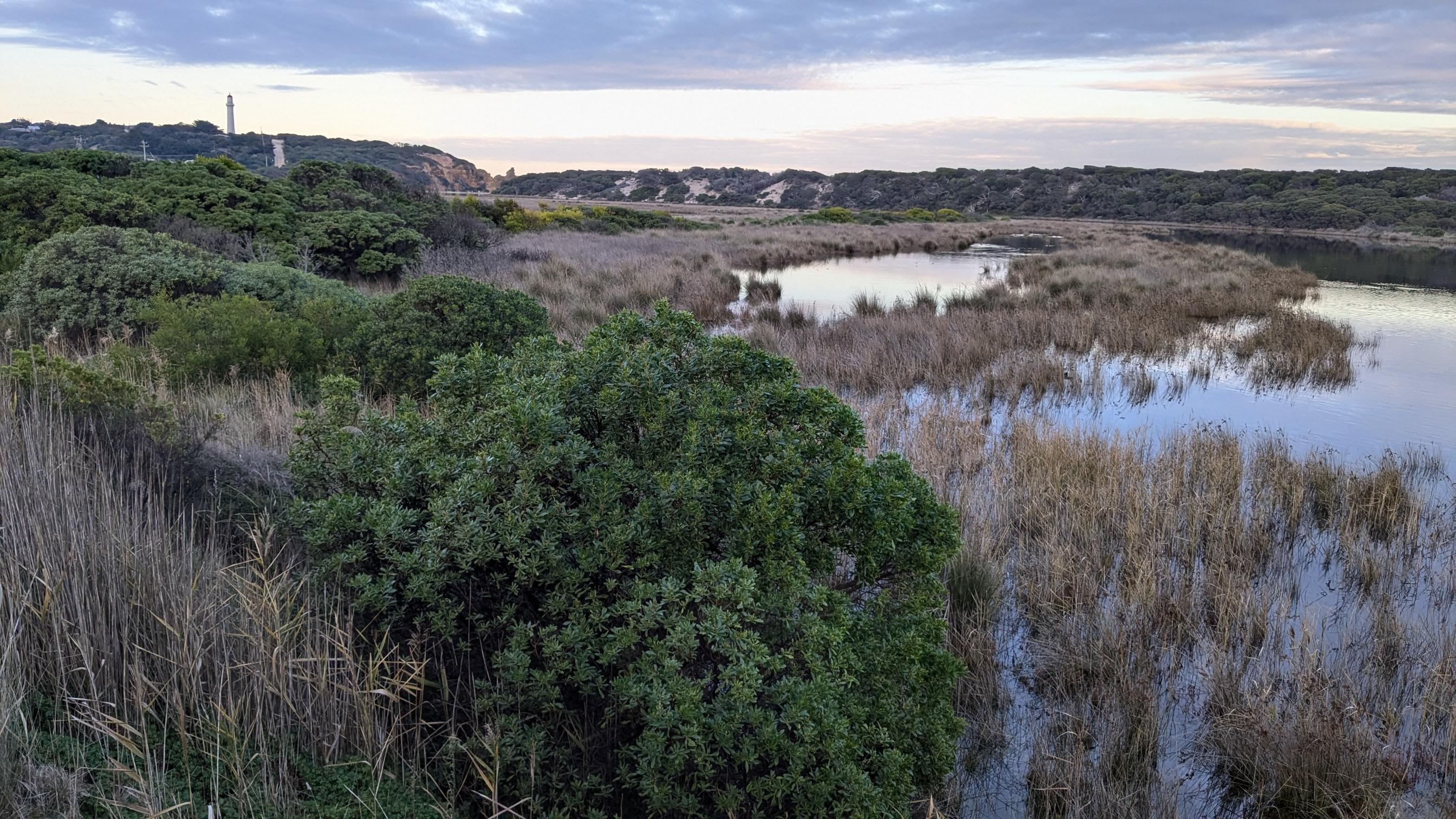
Painkalac Creek estuary flood adaption study
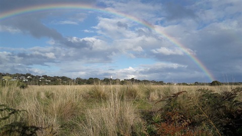
Sea Level rise and storm surge will impact on flood risk within the Painkalac Creek estuary. The Painkalac Creek Estuary Flood Adaption study will help us better understand this risk and how we (collectively) might adapt to it.
The State Government is working towards the 'Victoria Resilient Coasts – Adapting to 2100+' program and is supporting this study through a $150,000 grant. The Victorian Resilient Coast Framework provides a strategic approach to coastal hazard risk management and adaption.
The project aims to identify climate change impacts to existing flood risk, analyse current mitigation options and highlight possible strategic approaches to coastal hazard risk management and adaptation.

Location
Painkalac Creek, Anglesea 3230 View Map
-38.465162,144.1009869
Painkalac Creek ,
Anglesea 3230
Painkalac Creek ,
Anglesea 3230
Painkalac Creek estuary flood adaption study